| 2002 Projects and Upgrades
2002 System Improvements
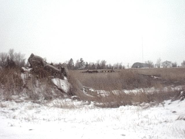
Ehrensdorf Hill Project Review
Shop Door Replacement Project
03/04 Snow Events
BCHD Crew
Machinery
Monthly Report
Year To Remember 1997 (pt 1)
Year To Remember 1997 (pt 2)
Related Links
F A Q's
ROW Vegetation Management
A Season at BCHD
Contact BCHD
Gann Valley Community Highlights
ROCK PIK
|
|
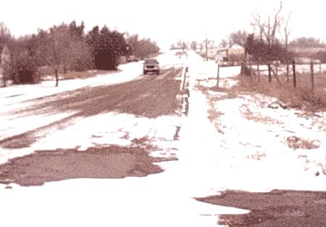
A detailed account of the snow season 2003-2004
At the onset of the snow season here in Buffalo County, we like to keep a detailed account of how we respond to each snow event. Our snow policy is to only plow when 6 inches or more of snow falls in an event, or if the roads accumulate over 6 inches in the driving surfaces. Priority is assigned as mail and bus routes highest, then primary roads, followed by driveways and secondary roads.
|
|
|
November 3 2003
6-8 inches of snow fell beginning late Sunday November 2 and continuing through the evening of November 3. Wind with the snow was 15-25 MPH from the NE and created some minor drifts, as well as cleared some of the snow from the roads. Surface drifting was a problem of roads the saw heavy traffic during the event. Plows were out the morning of November 4 and most roads were cleared by evening. A small amount of remaining roads were cleared the morning of November 5 and the forecast is leaning toward a warmup next week. In all likelihood the majority of this snow will not last long. The ground is unfrozen and the snow is quickly shrinking from this and solar heat.
Following this event 5 warm days reduced the snow to small patches of nearly thawed snow that had accumulated. A cold, windy blast on the morning after Veteran's Day caused no drifting problems, and this snow was controlled with one day of plowing and a week later a day of blading.
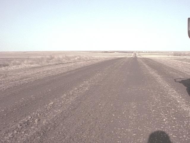
CLICK THE PICTURE AT LEFT TO VIEW A STORM LOG FROM 1950 TO ORESENT FOR BUFFALO COUNTY |
November 21-23 2003
A strong cold front pushed through the region from Canada, ending over a week of above average temps and depositing 1-2 inches of fresh snow across our area. A low pressure system exited the rockies across Kansas/Nebraska and up to the great lakes, wrapping around and depositing an additional 4-6 inches of fresh snow, this time accompanied by 20-30 mph winds the started in the northeast then rotated to the northwest on the third day and blew open areas clear. With the eception of three small locations where snow drifted across the roads, all roads were blown completely clear of any accumulated snow. Following this event the weather warmed and moderated, and the roadside snow quickly shrank and settled to become a non-threat to future drifting. Most of the open areas have melted down considerably as well.
|
|
|
|
December 4 2003
A relatively dry high pressure system suprised forecasters and charged out of Canada on Thursday morning. The system blew from the NW at 30-40 mph all day and also deposited 3 new inches of snow. A cool and breezy day followed, then Saturday a strong but warm southwest wind moderated the snow and thawed manu thin patches, again reducing our snowpack to just fencerows and sheltered areas having any substantial snow. This marks 19 inches of snowfall thus far with no substantial handling of snowfall required. |
December 28 2003
A strong system moved from Colorado over western North Dakota and into northern Minnesota over the weekend and clipped the Black Hills with a generous amount of snowfall and strong winds across our area. Total accumulation of snow was 1 inch and most of the snow was gone or trapped in grass a day later. The year ended with a turn back to arctic temperatures in strong contrast to the warmer than normal preceeding two week period. At this point of the winter season we have now recieved a total of 20 inches of snowfall since the first snow. In addition we have recieved approximately .60 inches of rain as well. There remains only the frozen remains of drifts in protected areas, with most of the open areas and roadways totally free of ice or snow. HAPPY NEW YEAR 2004
|
|
|
|
January 3 2004
A brief snowfall brought a fluffy 3" snowfall followed by a sharp drop in temperatures. The snow created no problems, quickly blowing clear of roads soon after falling. After a week of near zero temps warmer weather again returned January 7. |
Jan 8 2004
Warmer temps and overcast skies brought a dusting of 2 inches new snow on Thursday with as much as 4 inches near the river. The snow made some paved roads slippery, but created no real problems otherwise. It is expected to briefly warm up, then again dive into the sigle digit temps again next week.
|
|
|
|
EVENT 7
|
EVENT 8
|
|
|
|
EVENT 9
|
|
EVENT 10
|
|
|